 An official website of the United States government.
 and the Commonwealth Scientific and Industrial Research Organisation's, Denise Hardesty (left), record their geographic latitude/longitude coordinates using a handheld GPS to mark the start of their debris monitoring transect at Third Beach in Forks, Washington. (Photo Credit: NOAA)")
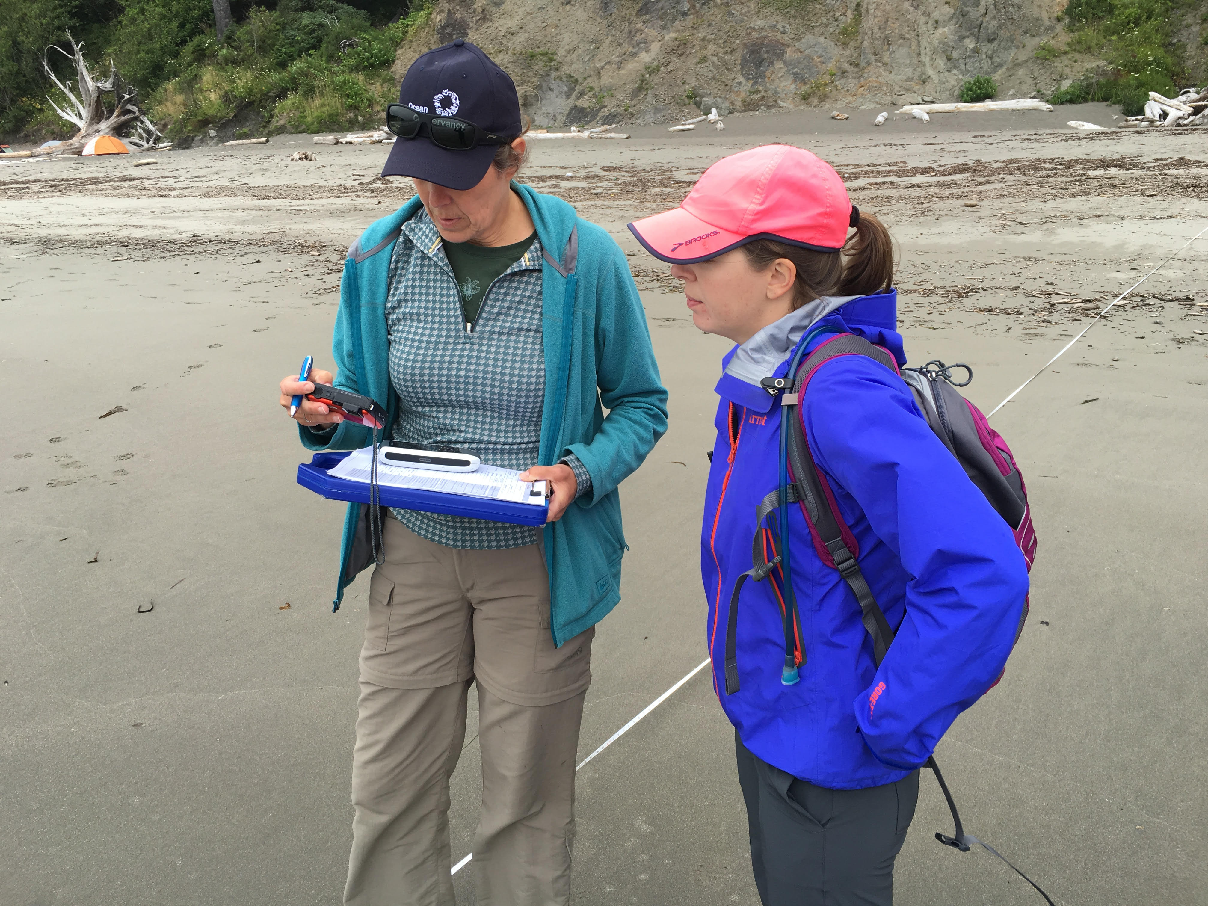
The NOAA Marine Debris Program's California Regional Coordinator, Sherry Lippiatt (right) and the Commonwealth Scientific and Industrial Research Organisation's, Denise Hardesty (left), record their geographic latitude/longitude coordinates using a handheld GPS to mark the start of their debris monitoring transect at Third Beach in Forks, Washington. (Photo Credit: NOAA)
The NOAA Marine Debris Program's California Regional Coordinator, Sherry Lippiatt (right) and the Commonwealth Scientific and Industrial Research Organisation's, Denise Hardesty (left), record their geographic latitude/longitude coordinates using a handheld GPS to mark the start of their debris monitoring transect at Third Beach in Forks, Washington. (Photo Credit: NOAA)
This image appears in our Photo Gallery in the following section(s):
Credit
NOAA